Some Example Maps produced by DMAP
These example maps illustrate a selection of map styles available
in DMAP. These examples are low-resolution bitmap images and hence
their quality is lower than that actually produced by DMAP on
most printing devices.
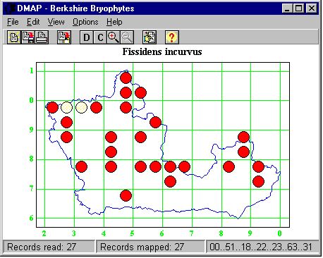
The DMAP window containing a displayed
Distribution Map.
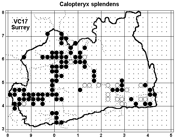
A Distribution Map illustrating dotted subdivisions between
grid lines and dashed lines for rivers.
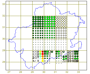
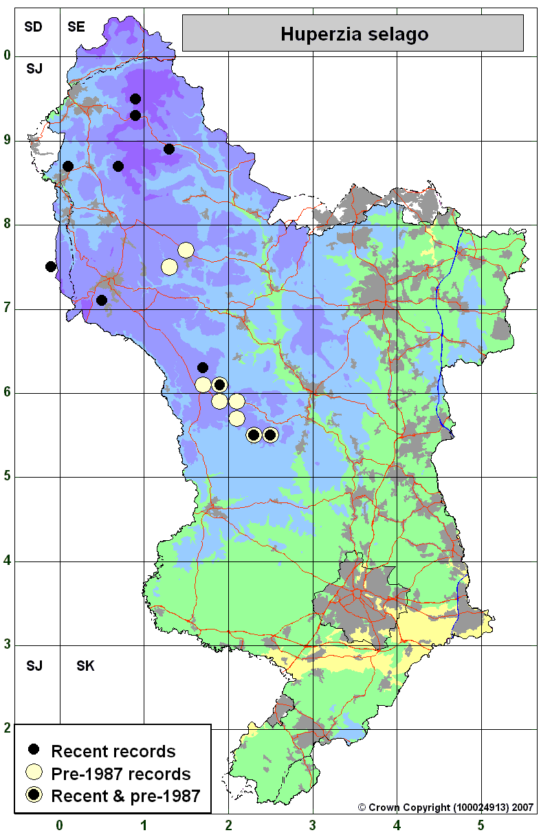
A map showing a selection of the symbol
types available.
A map illustrating the use of Coincidence Mapping for picking
out areas of high species diversity.
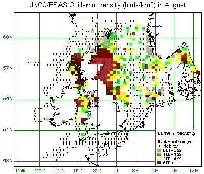
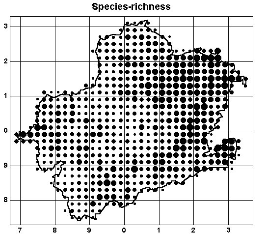
An illustration of coloured quantity symbols
displayed on a latitude/longitude map.
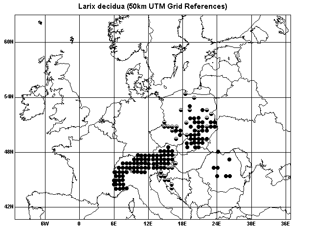
An illustration of UTM Grid Square records displayed on a
latitude/longitude map.
A distribution map with coloured lines and area fills. Courtesy of Nick Moyes, Flora of Derbyshire.
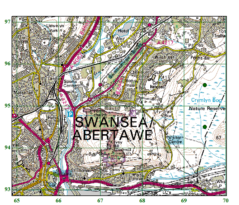
A distribution map with an OS map tile image used as a background.
Home Page